Reconstruction support utilizing old maps remaining in the disaster area of the Tohoku earthquake
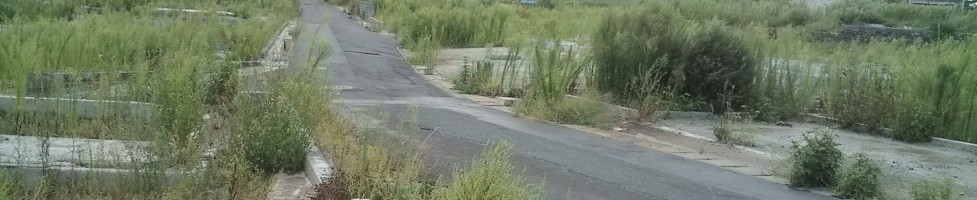
Reconstruction after the 2011 Tohoku earthquake is among the pressing questions faced by modern Japan. Tokyo has been named as the site for the 2020 Olympic games, and radiation control policies have become an international commitment. The author has been advancing a reconstruction support project from the stance of historical geography since 2012. This report provides the aim of that research, and introduces a portion of its results.
Japanese historical geography uses as its historical records the cadastral maps prepared concurrently for the entire nation in the early Meiji period. After confirming the land plots of the time, the technique of reconstructing their past landscape centered on the early Meiji period on that basis is important. Nevertheless, the marketplaces that Fujita is concerned with are characterized by frequent changes in landscape, and he notes the problem that at the very most this technique can be used for the reconstruction of only a portion of historical landscapes.
This project, which attempts to contribute to post-Tohoku earthquake reconstruction from the position of historical geography, has as its theme the “construction of a GIS database utilizing cadastral maps and old maps for the purpose of disaster reconstruction and prevention,” and has received a four-year Sciences Research Grant starting from 2012. Here I shall temporarily set aside discussions pertaining to the abovementioned reconstruction of the past. The data regarding the proprietary rights of land plots continuing since the early Meiji period, as cadastral data is either uninterrupted continuing to the present, or has been revised. The subsequent landscape has been severely damaged, but by putting emphasis on these maps it is possible to reconstruct using maps the pre-disaster landscape even in cases where only a portion remains.
Since the major fields for the three Tohoku prefects have full historical records, I here deal with Fukushima Prefecture.
The following five points are the unique points of discussion of this project.
- Data regarding koaza (village subsections) place names: the early Meiji cadastral maps also cover the land plots of the time, and the koaza place names recorded therein are superfluous today. These valuable place names are in danger of being forgotten even in the actual locales. Further, the cadastral maps themselves have not only lost their effectiveness through the production of newer cadastral maps or digitization, they are threatened because if they are destroyed without any recognition of their importance, then the means to confirm the koaza positionings will be permanently lost.
- Cadastral data concerning land plots: a chance to defeat the danger mentioned above is discerned within the reconstruction process following the Tohoku earthquake. Regardless of whether there are large-scale movements or the original town structure is kept, the importance of recognizing the boundaries, area, and so on of each person’s land plot is presupposed. For that purpose cadastral maps will serve as the fundamental and final resource.
By providing the disaster-struck communities with map data reconstructing the early Meiji landscape through cadastral maps, this project will provide lateral support for reconstruction management. - Techniques from Edo period maps—the precision of the diagrams themselves and land surveyors: because of the technological limitations of the time that the Meiji cadastral maps themselves were made, their precision is not high. To overcome this drawback, the sense and judgment of land surveyors who are experts in this field is important. As historical geographers, we too have developed a certain sense through our study. The present project supports that, and we think that by using GIS we can set the groundwork for reconstruction. The “technological limitations of the time” can be explained as a continuity from Edo maps, and we maintain awareness of that point. We are assured of the cooperation with the Japan Federation of Land and House Investigator’s Associations, a nationwide organization of land surveyors, and actual operations have begun centered on Fukushima Prefecture.
- Use of GIS: By making use of GIS (geographic information system: an instantaneous mapping system for statistical data regarding attributes, based on digitized positional data), we plan to engage in confirmations of land plot data and koaza boundaries. Diagrams such as cadastral maps can be utilized through GIS, and our technology is advancing to the point where we can judge their accuracy.
In this way, the uniqueness of this project is that adding data to currently constructed GIS databases will connect with reconstruction support. Through that work, the basis for GIS reconstructions of not only Edo period surveyed diagrams, but also Showa era large-scale maps of industrial areas and so on will be achieved. The usefulness of large-scale maps reconstructed by GIS is that architectural models of homes will underlay the experience of a ripple effect among the local population. The rousing of the memories of the elderly who have long lived in these areas will connect with energy for reconstruction. For example, even if people choose to relocate to higher ground, considerable difficulty is predicted in gaining the approval of local residents, and this is looked to as a possible basis for reviving the energies of leaders. - Nationwide ripple effect: when a major earthquake with its epicenter in an ocean trench occurs, tsunami damage can be sufficiently predicted, as occurred in the 2011 Tohoku earthquake off the Pacific coast. The Tonankai and Nankai earthquakes are similar cases. Experience of reconstruction work in the areas damaged by the Tohoku earthquake provides planning for the entire nation.